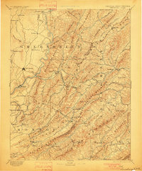
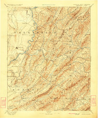
1891 Map of Lewisburg
USGS Topo · Published 1901About this map
Lewisburg and the surrounding Allegheny highlands are captured here in the late 19th century, during a period of burgeoning rail travel and mineral spring tourism. The map traces the critical route of the Chesapeake and Ohio Railroad as it pierces the continental divide through the Alleghany Tunnel and Lewis Tunnel. This engineering feat connected the resort culture of White Sulphur Springs and Sweet Chalybeate Spring to the broader Mid-Atlantic markets.
Find a feature on this map
142 named features on this map. Tap any name to fly to it.
Don’t see what you’re looking for? This feature index may not catch every label — zoom into the map to look around manually.
Map Details
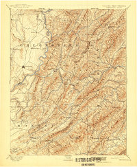
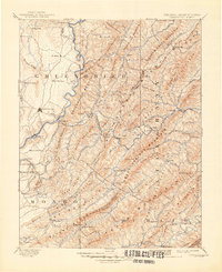
Editions of this 1891 Lewisburg Map
8 editions found
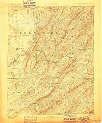
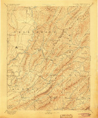
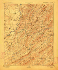
Other maps of this area

1887 · Hinton
USGS Topo · 1:125,000

1887 · Lewisburg
USGS Topo · 1:125,000

1889 · Nicholas
USGS Topo · 1:125,000

1890 · Roanoke
USGS Topo · 1:125,000

1890 · Dublin
USGS Topo · 1:125,000

1890 · Christiansburg
USGS Topo · 1:125,000

1891 · Roanoke
USGS Topo · 1:125,000

1891 · Lewisburg
USGS Topo · 1:125,000

1891 · Nicholas
USGS Topo · 1:125,000

1891 · Huntersville
USGS Topo · 1:125,000