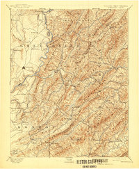
1891 Map of Lewisburg
USGS Topo · Published 1941About this map
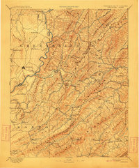
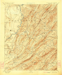
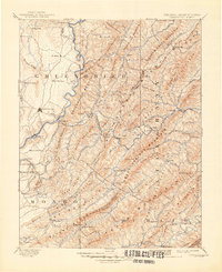
Lewisburg serves as the focal point for this late 19th-century survey of the West Virginia and Virginia borderlands, where the Greenbrier River carves a path through the Allegheny Mountains. The landscape is defined by its early mineral springs and mountain passes, featuring famous destinations such as White Sulphur Springs, Sweet Spring, and Sweet Chalybeate Spring. These resorts were critical to the regional economy and social fabric of the era, supported by the advancing line of the Chesapeake and Ohio Railroad.
Find a feature on this map
99 named features on this map. Tap any name to fly to it.
Don’t see what you’re looking for? This feature index may not catch every label — zoom into the map to look around manually.
Map Details
Editions of this 1891 Lewisburg Map
8 editions found
Other maps of this area

1887 · Hinton
USGS Topo · 1:125,000

1887 · Lewisburg
USGS Topo · 1:125,000

1889 · Nicholas
USGS Topo · 1:125,000

1890 · Roanoke
USGS Topo · 1:125,000

1890 · Dublin
USGS Topo · 1:125,000

1890 · Christiansburg
USGS Topo · 1:125,000

1891 · Roanoke
USGS Topo · 1:125,000

1891 · Lewisburg
USGS Topo · 1:125,000

1891 · Nicholas
USGS Topo · 1:125,000

1891 · Huntersville
USGS Topo · 1:125,000