2022 Map of Lewisburg
USGS Topo · Published 2022About this map
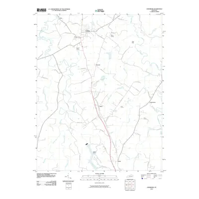
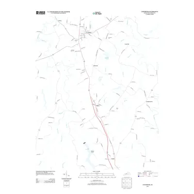
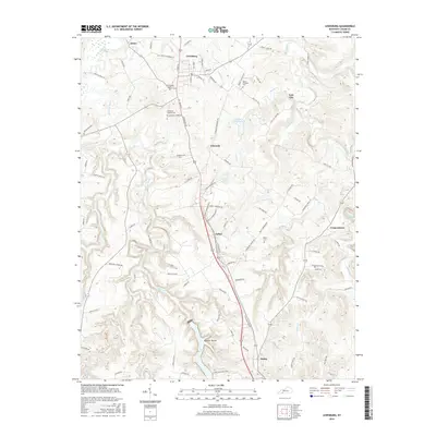
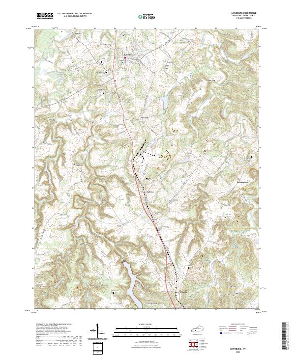
The Mud River forms a winding eastern boundary for this part of Kentucky, where the landscape is defined by the sharp relief of several creek systems including Wolf Lick Creek and Elk Lick Creek. This modern survey documents a series of small, dispersed communities such as Epleys, Edwards, and the curiously named Lost City. The distribution of family and community burial grounds, such as the Arnold Graveyard and Kennertys Chapel Cem, suggests a long-standing pattern of rural settlement that has persisted alongside the local road network. The topography is notably broken by Wildcat Hollow in the south, while the northern section is anchored by the hub of Lewisburg. The map reveals a transition from the structured street grid of the main town to the irregular, ridge-following paths of the surrounding Logan County countryside.
Find a feature on this map
117 named features on this map. Tap any name to fly to it.
Don’t see what you’re looking for? This feature index may not catch every label — zoom into the map to look around manually.
Map Details
Editions of this 2022 Lewisburg Map
This is the sole edition of this map. No revisions or reprints were ever made.
Historical Maps of Lewisburg Through Time
6 maps found