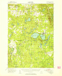
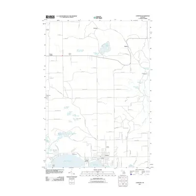
1949 Map of Lewiston
USGS Topo · Published 1954About this map
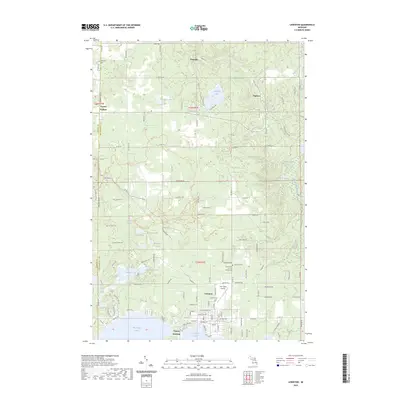
The Michigan Meridian serves as a central spine for this 1949 topographic survey, dividing a landscape of dense state forest and glacial lakes at the convergence of four counties. Lewiston stands as the primary hub, situated between East Twin Lake and the smaller West Twin Lake, with Vienna Junction and Garland Village nearby. The era's recreational and community character is evident through numerous established retreats like Silver Beach Lodge, Camp Bell, and the Indian Village Boys Camp, alongside the Homestead Hunting Club to the south.
Find a feature on this map
91 named features on this map. Tap any name to fly to it.
Don’t see what you’re looking for? This feature index may not catch every label — zoom into the map to look around manually.
Map Details
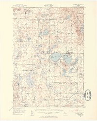
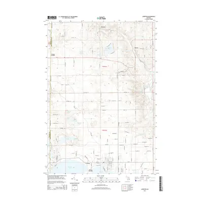
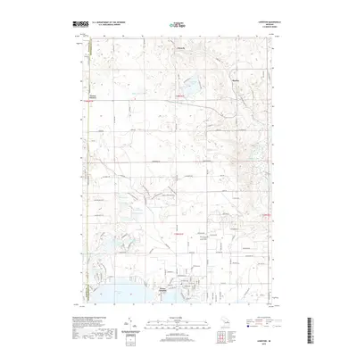
Editions of this 1949 Lewiston Map
2 editions found
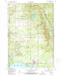
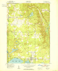
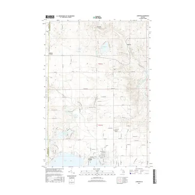
Historical Maps of Lewiston Through Time
8 maps found
Featured Locations
- Chester Township, MI
- Johannesburg, Charlton Township
- Lewiston, Albert Township
- Vienna Junction, Albert Township
- Lovells, Lovells Township