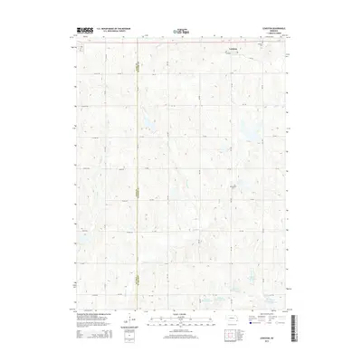
2014 Map of Lewiston
USGS Topo · Published 2014About this map
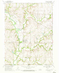
The village of Lewiston sits at the northern edge of this Pawnee County landscape, serving as a hub for the surrounding agricultural grid. The terrain is defined by a dense network of drainage systems, including Turkey Cr, Adamson Cr, and Wolf Cr, which create a rolling series of ridges and valleys across the countryside. To the south, the landscape is notably altered by a series of water management structures known as the Plum Cr Reservoirs, including Plum Cr Reservoir 4-D and Plum Cr Reservoir 4-G. These catchments illustrate modern efforts to control runoff within the Plum Cr basin. Genealogists can identify significant local landmarks such as Lewiston Cem and Mt Pleasant Cem, both situated near the established section lines that dictate the area's movement and development.
Find a feature on this map
43 named features on this map. Tap any name to fly to it.
Don’t see what you’re looking for? This feature index may not catch every label — zoom into the map to look around manually.
Map Details
Editions of this 2014 Lewiston Map
This is the sole edition of this map. No revisions or reprints were ever made.
Other maps of this area

1955 · Lincoln
USGS Topo · 1:250,000

1957 · Lincoln
USGS Topo · 1:250,000

1958 · Lincoln
USGS Topo · 1:250,000

1965 · Crab Orchard
USGS Topo · 1:24,000

1965 · Burchard
USGS Topo · 1:24,000
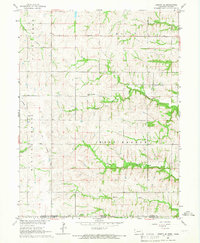
1965 · Liberty SE
USGS Topo · 1:24,000

1965 · Lewiston
USGS Topo · 1:24,000
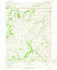
1965 · Vesta
USGS Topo · 1:24,000
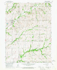
1965 · Liberty
USGS Topo · 1:24,000
1970 · Barneston
USGS Topo · 1:24,000