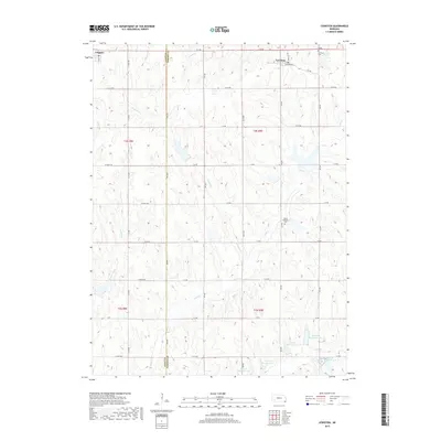
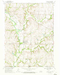
2017 Map of Lewiston
USGS Topo · Published 2017About this map
The village of Lewiston sits near the northern edge of this Pawnee County landscape, where the local Po and Lewiston Cemetery serve as central community landmarks. The terrain is defined by a dense network of intermittent stream valleys, including Adamson Creek, Wildcat Creek, and Wolf Creek, which carve through the agricultural fields and pastures. To the southwest, the town of Virginia is partially visible across the Gage County line.
Find a feature on this map
43 named features on this map. Tap any name to fly to it.
Don’t see what you’re looking for? This feature index may not catch every label — zoom into the map to look around manually.
Map Details
Editions of this 2017 Lewiston Map
This is the sole edition of this map. No revisions or reprints were ever made.
Other maps of this area

1955 · Lincoln
USGS Topo · 1:250,000

1957 · Lincoln
USGS Topo · 1:250,000

1958 · Lincoln
USGS Topo · 1:250,000

1965 · Crab Orchard
USGS Topo · 1:24,000

1965 · Burchard
USGS Topo · 1:24,000
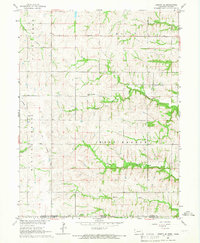
1965 · Liberty SE
USGS Topo · 1:24,000

1965 · Lewiston
USGS Topo · 1:24,000
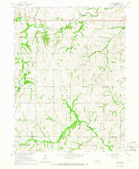
1965 · Vesta
USGS Topo · 1:24,000
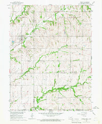
1965 · Liberty
USGS Topo · 1:24,000
1970 · Barneston
USGS Topo · 1:24,000