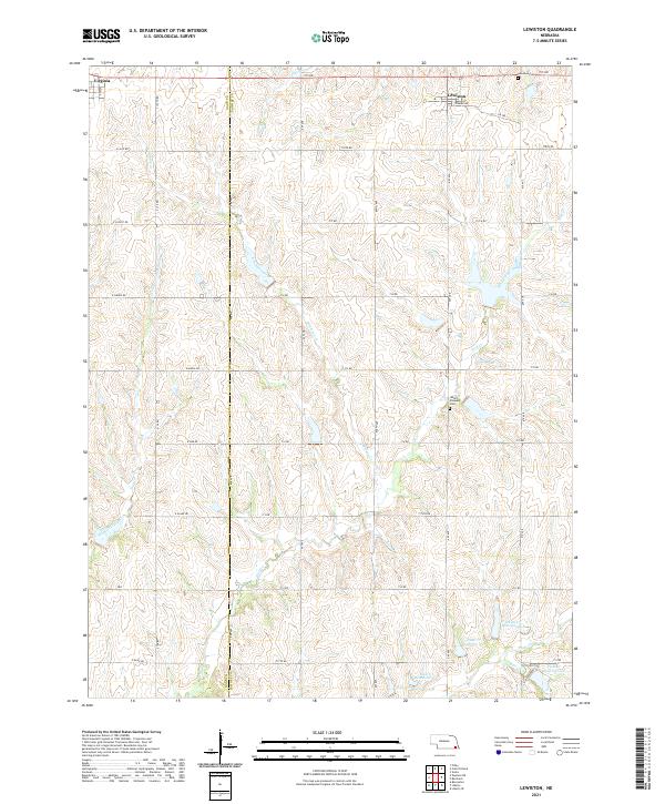
2021 Map of Lewiston
USGS Topo · Published 2021About this map
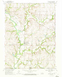
The boundary between Gage and Pawnee counties bisects this agricultural landscape, where the village of Lewiston serves as a local hub. The terrain is defined by a dense network of watercourses including Turkey Creek, Adamson Creek, and Wolf Creek, which create the undulating topography characteristic of this part of southeast Nebraska. The 2021 survey illustrates a modern water management system with numerous reservoirs along Plum Creek, such as Plum Cr Reservoir 4-G and Plum Cr Reservoir 4-F. For those tracing local heritage, the map identifies key community sites like Mount Pleasant Cem and the Lewiston Cem near the town center. The rigid section-line road grid, featuring routes like 719 Rd and E Lilac Rd, highlights the enduring impact of the Public Land Survey System on the region's development.
Find a feature on this map
44 named features on this map. Tap any name to fly to it.
Don’t see what you’re looking for? This feature index may not catch every label — zoom into the map to look around manually.
Map Details
Editions of this 2021 Lewiston Map
This is the sole edition of this map. No revisions or reprints were ever made.
Other maps of this area

1955 · Lincoln
USGS Topo · 1:250,000

1957 · Lincoln
USGS Topo · 1:250,000

1958 · Lincoln
USGS Topo · 1:250,000

1965 · Crab Orchard
USGS Topo · 1:24,000

1965 · Burchard
USGS Topo · 1:24,000
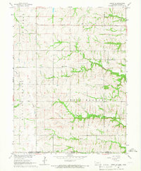
1965 · Liberty SE
USGS Topo · 1:24,000

1965 · Lewiston
USGS Topo · 1:24,000
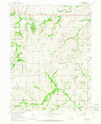
1965 · Vesta
USGS Topo · 1:24,000
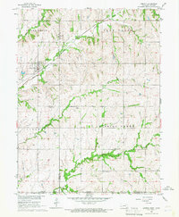
1965 · Liberty
USGS Topo · 1:24,000
1970 · Barneston
USGS Topo · 1:24,000