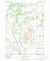
1948 Map of Lewisville
USGS Topo · Published 1977About this map
The Snake River dominates this landscape of the upper Snake River Plain, twisting through a complex network of agricultural infrastructure just after World War II. The map reveals an intricate system of canals, including the North Parks Lewisville Canal and Missionary Canal, which supported the agrarian settlements of Lewisville, Roberts, and Menan. This 1940s survey highlights the essential connection between the water and the rail economy, with the Union Pacific line running parallel to the river near Bassett.
Find a feature on this map
33 named features on this map. Tap any name to fly to it.
Don’t see what you’re looking for? This feature index may not catch every label — zoom into the map to look around manually.
Map Details
Editions of this 1948 Lewisville Map
3 editions found
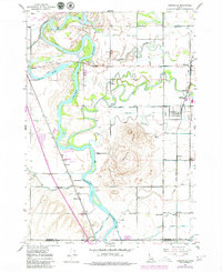
Other maps of this area

1948 · Rigby
USGS Topo · 1:24,000

1948 · Lewisville
USGS Topo · 1:24,000

1948 · Idaho Falls North
USGS Topo · 1:24,000

1948 · Ucon
USGS Topo · 1:24,000

1949 · Ucon
USGS Topo · 1:24,000

1949 · Idaho Falls North
USGS Topo · 1:24,000

1949 · Rigby
USGS Topo · 1:24,000

1949 · Lewisville
USGS Topo · 1:24,000

1949 · Roberts
USGS Topo · 1:62,500

1949 · Roberts
USGS Topo · 1:24,000