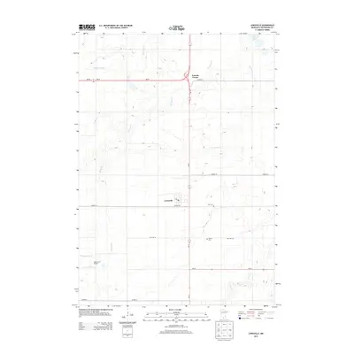
2013 Map of Lewisville
USGS Topo · Published 2013About this map
Lewisville serves as the primary hub of this Watonwan County landscape, which is defined by an orderly grid of section lines and rural drainage systems. The town itself is centered around a small cluster of streets, featuring a Po and anchoring the intersection of Co Hwy-10 and MN-15. To the north, the junction at Tenmile Corner marks a significant waypoint where MN-60 and MN-30 converge, reflecting the region's reliance on highway transit for moving agricultural goods.
Find a feature on this map
22 named features on this map. Tap any name to fly to it.
Don’t see what you’re looking for? This feature index may not catch every label — zoom into the map to look around manually.
Map Details
Editions of this 2013 Lewisville Map
This is the sole edition of this map. No revisions or reprints were ever made.
Other maps of this area

1953 · New Ulm
USGS Topo · 1:250,000

1954 · Fairmont
USGS Topo · 1:250,000

1957 · New Ulm
USGS Topo · 1:250,000

1958 · New Ulm
USGS Topo · 1:250,000

1958 · Fairmont
USGS Topo · 1:250,000

1965 · Madelia
USGS Topo · 1:24,000

1965 · Perth
USGS Topo · 1:24,000

1967 · New Ulm
USGS Topo · 1:250,000

1967 · Truman
USGS Topo · 1:24,000

1967 · Truman SE
USGS Topo · 1:24,000