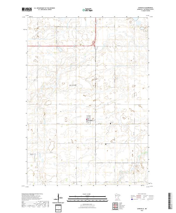
2022 Map of Lewisville
USGS Topo · Published 2022About this map
Lewisville sits at the heart of this Watonwan County landscape, serving as a primary hub for the surrounding agricultural district. The town’s grid is clearly defined, with Co Hwy 10 and Co Rd 117 providing vital local connections through the prairie. The topography is subtly shaped by the winding courses of Spring Brook and Spring Br Cr, which traverse the section lines and define the local drainage patterns. This survey also documents essential community landmarks that provide significant value for genealogists and local historians, including Zion Cem and Antrim Cem located southeast of the main settlement. Further south, the presence of Sieg's Farm Airport reflects the integration of private aviation into the region's rural economy. The network of township roads, such as 800th Ave and 360th St, illustrates the enduring structure of the Public Land Survey System across these townships.
Find a feature on this map
36 named features on this map. Tap any name to fly to it.
Don’t see what you’re looking for? This feature index may not catch every label — zoom into the map to look around manually.
Map Details
Editions of this 2022 Lewisville Map
This is the sole edition of this map. No revisions or reprints were ever made.
Other maps of this area

1953 · New Ulm
USGS Topo · 1:250,000

1954 · Fairmont
USGS Topo · 1:250,000

1957 · New Ulm
USGS Topo · 1:250,000

1958 · New Ulm
USGS Topo · 1:250,000

1958 · Fairmont
USGS Topo · 1:250,000

1965 · Madelia
USGS Topo · 1:24,000

1965 · Perth
USGS Topo · 1:24,000

1967 · New Ulm
USGS Topo · 1:250,000

1967 · Truman
USGS Topo · 1:24,000

1967 · Truman SE
USGS Topo · 1:24,000