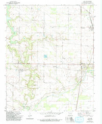
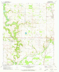
1971 Map of Lexa
USGS Topo · Published 1991About this map
Agricultural lowlands and a network of rural hamlets define this section of Phillips County in the early 1970s. The settlement of Lexa and its nearby Lexa Junction serve as northern anchors, while the terrain to the south is shaped by the winding courses of Big Creek and Crooked Creek. Evidence of the region's changing transportation landscape is seen in the Old Railroad Grade north of town, reflecting a shift away from earlier rail dependency.
Find a feature on this map
39 named features on this map. Tap any name to fly to it.
Don’t see what you’re looking for? This feature index may not catch every label — zoom into the map to look around manually.
Map Details
Editions of this 1971 Lexa Map
2 editions found
Other maps of this area

1939 · Farrell
USGS Topo · 1:62,500

1939 · Modoc
USGS Topo · 1:62,500

1939 · Latour
USGS Topo · 1:62,500

1940 · Marvell
USGS Topo · 1:62,500

1948 · Helena
USGS Topo · 1:250,000

1948 · Modoc
USGS Topo · 1:62,500

1950 · Helena
USGS Topo · 1:250,000

1955 · Latour
USGS Topo · 1:62,500
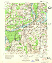
1955 · Farrell
USGS Topo · 1:62,500

1955 · Helena
USGS Topo · 1:250,000