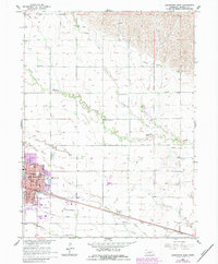
1962 Map of Lexington East
USGS Topo · Published 1984About this map
Lexington serves as the focal point of this 1962 survey, situated in the fertile Platte River valley where the Union Pacific railroad and major irrigation infrastructure define the local economy. The landscape is intricately carved by a network of water management features, including the Dawson County Canal, Berquist Ditch, and several laterals like Lateral No 1. These systems support the agricultural blocks surrounding the town, which is shown in detail with its courthouse, hospital, and the County Fairground situated along the southern tracks.
Find a feature on this map
37 named features on this map. Tap any name to fly to it.
Don’t see what you’re looking for? This feature index may not catch every label — zoom into the map to look around manually.
Map Details
Editions of this 1962 Lexington East Map
2 editions found
Other maps of this area

1896 · Lexington
USGS Topo · 1:125,000

1899 · Lexington
USGS Topo · 1:125,000

1955 · Grand Island
USGS Topo · 1:250,000

1957 · Grand Island
USGS Topo · 1:250,000

1958 · Grand Island
USGS Topo · 1:250,000

1962 · Lexington West
USGS Topo · 1:24,000

1962 · Lexington SE
USGS Topo · 1:24,000
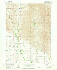
1962 · Buffalo
USGS Topo · 1:24,000
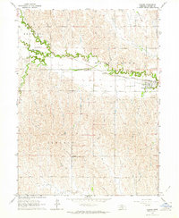
1962 · Sumner
USGS Topo · 1:24,000

1962 · Lexington East
USGS Topo · 1:24,000