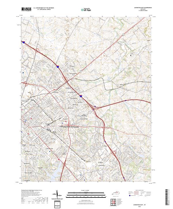
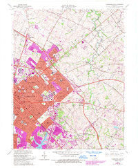
2022 Map of Lexington East
USGS Topo · Published 2022About this map
Lexington-Fayette emerges as a dense urban core transitioning into the famed Bluegrass horse country in this recent survey. The map document is centered on the established neighborhoods of Chevy Chase, Ashland Park, and Idle Hour, where the city’s residential expansion meets long-standing estates like Dixie Plantation. Academic life is anchored by Transylvania University near the historic center, while further east, the landscape opens toward Muir and the Fayette and Bourbon county line.
Find a feature on this map
59 named features on this map. Tap any name to fly to it.
Don’t see what you’re looking for? This feature index may not catch every label — zoom into the map to look around manually.
Map Details
Editions of this 2022 Lexington East Map
This is the sole edition of this map. No revisions or reprints were ever made.
Historical Maps of Mount Vernon Through Time
19 maps found

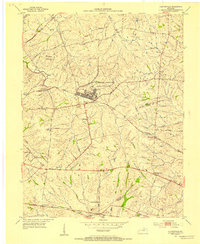
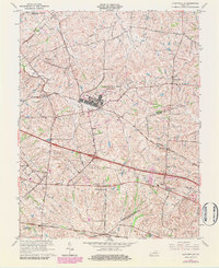
1950 Lexington East
Fayette County, KY

1950 Lexington West
Fayette County, KY
1952 Clintonville
Fayette County, KY

1952 Coletown
Fayette County, KY
1954 Centerville
Fayette County, KY

1954 Lexington East
Fayette County, KY

1955 Lexington West
Fayette County, KY

1959 Coletown
Fayette County, KY

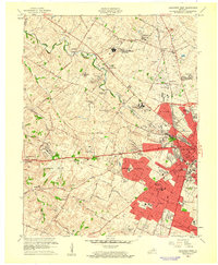
1959 Lexington East
Fayette County, KY
1959 Lexington West
Fayette County, KY
1965 Clintonville
Fayette County, KY
1965 Coletown
Fayette County, KY
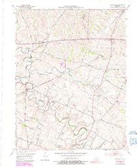
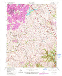
1965 Lexington East
Fayette County, KY
1965 Lexington West
Fayette County, KY
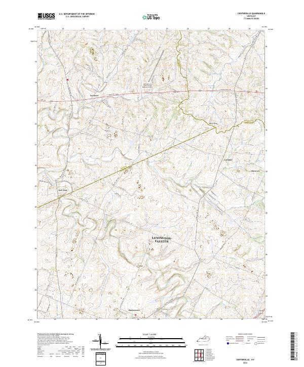
2022 Centerville
Fayette County, KY
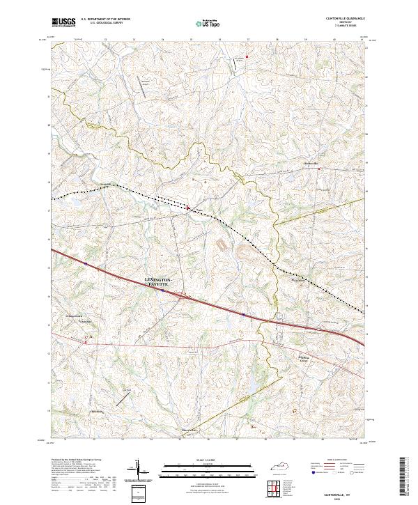
2022 Clintonville
Fayette County, KY
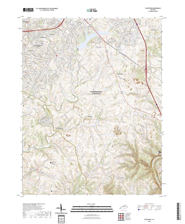
2022 Coletown
Fayette County, KY
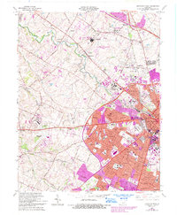
2022 Lexington East
Fayette County, KY
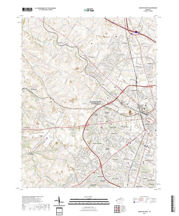
2022 Lexington West
Fayette County, KY