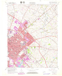
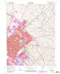
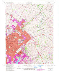
1965 Map of Lexington East
USGS Topo · Published 1979About this map
Lexington expands eastward into the Bluegrass countryside on this detailed 1960s survey, updated with purple photorevisions from the late 1970s. The urban landscape is anchored by major institutions like Transylvania University and the University of Kentucky, including its extensive Agricultural Experimental Station. Suburban growth is evident in the development of neighborhoods such as Chevy Chase, Ashland Park, and Idle Hour, which encircle landmarks like the Home of Henry Clay.
Find a feature on this map
131 named features on this map. Tap any name to fly to it.
Don’t see what you’re looking for? This feature index may not catch every label — zoom into the map to look around manually.
Map Details
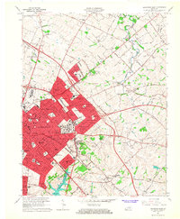
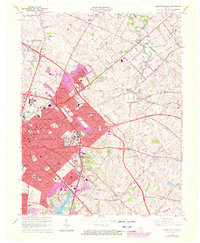
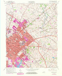
Editions of this 1965 Lexington East Map
6 editions found
Other maps of this area

1892 · Richmond
USGS Topo · 1:125,000

1897 · Richmond
USGS Topo · 1:125,000

1905 · Harrodsburg
USGS Topo · 1:125,000

1906 · Georgetown
USGS Topo · 1:62,500

1908 · Georgetown
USGS Topo · 1:62,500

1927 · Lexington
USGS Topo · 1:48,000

1929 · Lexington
USGS Topo · 1:62,500

1950 · Lexington East
USGS Topo · 1:24,000

1950 · Lexington West
USGS Topo · 1:24,000

1952 · Nicholasville
USGS Topo · 1:24,000