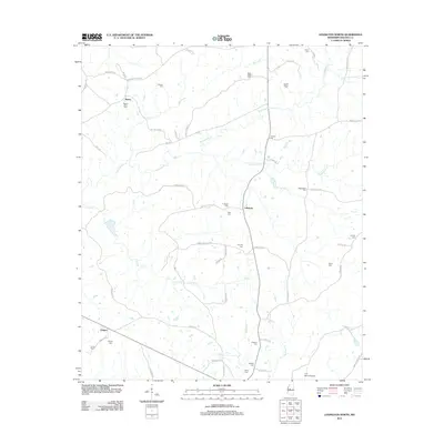
2012 Map of Lexington North
USGS Topo · Published 2012About this map
Fannegusha Cr and Long Cr wind through this Holmes County landscape, anchoring a rural territory defined by small settlements and numerous family burial grounds. The community of Lebanon sits near the center, while Ituma and Oregon occupy the western stretches alongside the recreational grounds of Camp Calvin. The sheer density of documented cemeteries, including Beall-Stigler Cem, Jordan Bailey Cem, and Wadell Cem, provides a significant resource for genealogical research into the families who established these homesteads. Transportation is primarily handled by a network of local routes like Rathell Rd and Old Tchula Rd, connecting isolated farms to larger hubs. In the south, the C. A. Moore Airport represents a modern infrastructure layer amidst the traditional agricultural and creek-bottom lands. This 2012 survey by the U.S. Geological Survey offers a clear record of local geography before further 21st-century development.
Find a feature on this map
64 named features on this map. Tap any name to fly to it.
Don’t see what you’re looking for? This feature index may not catch every label — zoom into the map to look around manually.
Map Details
Editions of this 2012 Lexington North Map
This is the sole edition of this map. No revisions or reprints were ever made.
Other maps of this area

1940 · Seven Pines
USGS Topo · 1:62,500

1940 · Lexington
USGS Topo · 1:62,500

1953 · Greenwood
USGS Topo · 1:250,000

1953 · West Point
USGS Topo · 1:250,000

1956 · Greenwood
USGS Topo · 1:250,000

1957 · Lexington
USGS Topo · 1:62,500

1957 · Seven Pines
USGS Topo · 1:62,500

1958 · West Point
USGS Topo · 1:250,000

1958 · Seven Pines
USGS Topo · 1:62,500

1958 · Lexington
USGS Topo · 1:62,500