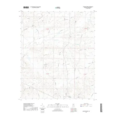
2018 Map of Lexington North
USGS Topo · Published 2018About this map
The hills of Holmes County north of Lexington are defined by a complex network of creeks and numerous family-name cemeteries that reflect generations of local settlement. The drainage patterns of Fannequsha Cr and Bophumpa Cr carve through the landscape, alongside smaller tributaries like Moccasin Cr and Whites Cr. This rural area is characterized by a dense grid of local roads named for the destinations they once connected, such as Old Rockport Rd A, Lower Louisville Rd, and Providence Rd. Genealogists will find significant value in the distribution of small burial grounds scattered across the terrain, including the Wanlaw Cem, Beall-Stigler Cem, and Jordan-Bailey Cem. Near the southern edge of the map, the C A Moore Airport stands as a modern landmark in an otherwise deeply traditional agricultural and cemetery-rich landscape.
Find a feature on this map
63 named features on this map. Tap any name to fly to it.
Don’t see what you’re looking for? This feature index may not catch every label — zoom into the map to look around manually.
Map Details
Editions of this 2018 Lexington North Map
This is the sole edition of this map. No revisions or reprints were ever made.
Other maps of this area

1940 · Seven Pines
USGS Topo · 1:62,500

1940 · Lexington
USGS Topo · 1:62,500

1953 · Greenwood
USGS Topo · 1:250,000

1953 · West Point
USGS Topo · 1:250,000

1956 · Greenwood
USGS Topo · 1:250,000

1957 · Lexington
USGS Topo · 1:62,500

1957 · Seven Pines
USGS Topo · 1:62,500

1958 · West Point
USGS Topo · 1:250,000

1958 · Seven Pines
USGS Topo · 1:62,500

1958 · Lexington
USGS Topo · 1:62,500