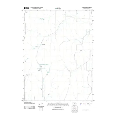
2011 Map of Lexington NW
USGS Topo · Published 2011About this map
Dry Fork Wood River and Crooked Creek carve through this rural Dawson County landscape, which is defined by an extensive network of man-made water management features. The area's agricultural reliance on water storage is evident in the numerous family-named dams and reservoirs, including Katy West Reservoir, O Connor Reservoir Number 1, and Prasch Reservoir. These small-scale impoundments, often located at the headwaters of intermittent streams, suggest a carefully managed prairie environment where surface water is precious. Transportation is primarily facilitated by a grid of rural routes such as Wiley Canyon Rd and Smokey Hill Rd, which provide access to the dispersed farmsteads and school lands. The inclusion of School Land Reservoir Number 1 and its counterpart, School Land Reservoir Number 2, points to the historic allocation of sections for educational funding, a practice deeply rooted in Nebraska's development.
Find a feature on this map
32 named features on this map. Tap any name to fly to it.
Don’t see what you’re looking for? This feature index may not catch every label — zoom into the map to look around manually.
Map Details
Editions of this 2011 Lexington NW Map
This is the sole edition of this map. No revisions or reprints were ever made.
Other maps of this area

1896 · Lexington
USGS Topo · 1:125,000

1899 · Lexington
USGS Topo · 1:125,000

1951 · Oconto SE
USGS Topo · 1:24,000

1951 · Eddyville
USGS Topo · 1:24,000

1951 · Eddyville SW
USGS Topo · 1:24,000

1955 · Broken Bow
USGS Topo · 1:250,000

1955 · Grand Island
USGS Topo · 1:250,000

1956 · Broken Bow
USGS Topo · 1:250,000

1957 · Grand Island
USGS Topo · 1:250,000

1958 · Grand Island
USGS Topo · 1:250,000