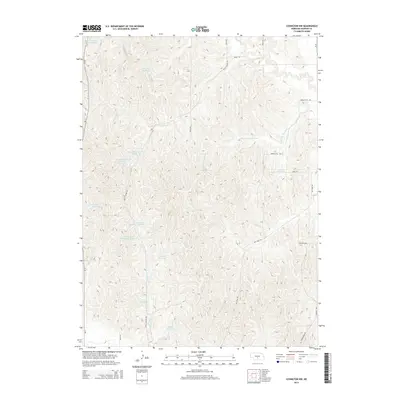
2014 Map of Lexington NW
USGS Topo · Published 2014About this map
The Dry Fork Wood River carves a winding path through this portion of Dawson County, Nebraska, where a sophisticated network of small-scale water management defines the agricultural landscape. The region is characterized by numerous privately named reservoirs, including Anthony Reservoir, Katy West Reservoir, and the tandem O'Connor Reservoir Number 1 and O'Connor Reservoir Number 2. These water features, alongside Elm Cr and Crooked Cr, provide essential irrigation and drainage for the local ranching and farming operations.
Find a feature on this map
27 named features on this map. Tap any name to fly to it.
Don’t see what you’re looking for? This feature index may not catch every label — zoom into the map to look around manually.
Map Details
Editions of this 2014 Lexington NW Map
This is the sole edition of this map. No revisions or reprints were ever made.
Other maps of this area

1896 · Lexington
USGS Topo · 1:125,000

1899 · Lexington
USGS Topo · 1:125,000

1951 · Oconto SE
USGS Topo · 1:24,000

1951 · Eddyville
USGS Topo · 1:24,000

1951 · Eddyville SW
USGS Topo · 1:24,000

1955 · Broken Bow
USGS Topo · 1:250,000

1955 · Grand Island
USGS Topo · 1:250,000

1956 · Broken Bow
USGS Topo · 1:250,000

1957 · Grand Island
USGS Topo · 1:250,000

1958 · Grand Island
USGS Topo · 1:250,000