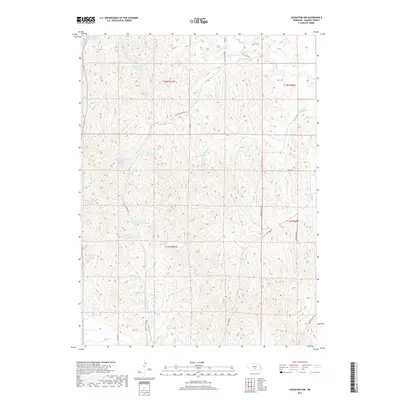
2017 Map of Lexington NW
USGS Topo · Published 2017About this map
The agricultural landscape of Dawson County is defined by an intricate network of water management features and rural infrastructure. Numerous small-scale reservoirs, including Anthony Reservoir, Katy West Reservoir, and the dual O Connor Reservoir Number 1 and O Connor Reservoir Number 2, punctuate the terrain, indicating a highly developed system of irrigation and livestock support. These man-made basins are connected by drainage ways such as Crooked Cr and the Dry Fork Wood River, which navigate the undulating section lines of the Public Land Survey System.
Find a feature on this map
28 named features on this map. Tap any name to fly to it.
Don’t see what you’re looking for? This feature index may not catch every label — zoom into the map to look around manually.
Map Details
Editions of this 2017 Lexington NW Map
This is the sole edition of this map. No revisions or reprints were ever made.
Other maps of this area

1896 · Lexington
USGS Topo · 1:125,000

1899 · Lexington
USGS Topo · 1:125,000

1951 · Oconto SE
USGS Topo · 1:24,000

1951 · Eddyville
USGS Topo · 1:24,000

1951 · Eddyville SW
USGS Topo · 1:24,000

1955 · Broken Bow
USGS Topo · 1:250,000

1955 · Grand Island
USGS Topo · 1:250,000

1956 · Broken Bow
USGS Topo · 1:250,000

1957 · Grand Island
USGS Topo · 1:250,000

1958 · Grand Island
USGS Topo · 1:250,000