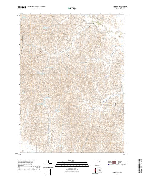
2021 Map of Lexington NW
USGS Topo · Published 2021About this map
Agricultural water management and the rolling topography of Dawson County define this interior Nebraska landscape. The map reveals a dense network of water storage sites, including Katy West Reservoir and the twin basins of O Connor Reservoir Number 1 and O Connor Reservoir Number 2. These features, alongside School Land Reservoir Number 1 and its counterpart School Land Reservoir Number 2, indicate a sophisticated system of land use and resource conservation. A sparse but deliberate grid of local roads, such as Smokey Hill Rd and Cracker Box Rd, connects isolated ranching or farming operations. The terrain is marked by intricate drainage patterns leading to reservoirs like Longley Reservoir and Prasch Reservoir, illustrating how the modern rural economy adapts to the semi-arid environment of the High Plains.
Find a feature on this map
24 named features on this map. Tap any name to fly to it.
Don’t see what you’re looking for? This feature index may not catch every label — zoom into the map to look around manually.
Map Details
Editions of this 2021 Lexington NW Map
This is the sole edition of this map. No revisions or reprints were ever made.
Other maps of this area

1896 · Lexington
USGS Topo · 1:125,000

1899 · Lexington
USGS Topo · 1:125,000

1951 · Oconto SE
USGS Topo · 1:24,000

1951 · Eddyville
USGS Topo · 1:24,000

1951 · Eddyville SW
USGS Topo · 1:24,000

1955 · Broken Bow
USGS Topo · 1:250,000

1955 · Grand Island
USGS Topo · 1:250,000

1956 · Broken Bow
USGS Topo · 1:250,000

1957 · Grand Island
USGS Topo · 1:250,000

1958 · Grand Island
USGS Topo · 1:250,000