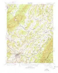
1950 Map of Lexington
USGS Topo · Published 1950About this map
The Maury River and its numerous tributaries dominate this Rockbridge County landscape, carving through the gap at Goshen Pass and winding toward the industrial hubs of Lexington and Buena Vista. This mid-century revision captures the region's transition from a rural milling economy to a more connected transportation corridor. The map preserves the locations of several historic agrarian landmarks, such as McClung Mill on Hays Creek and Wades Mill further north, alongside established community centers like Rockbridge Baths and Fairfield.
Find a feature on this map
160 named features on this map. Tap any name to fly to it.
Don’t see what you’re looking for? This feature index may not catch every label — zoom into the map to look around manually.
Map Details
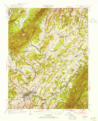
Editions of this 1950 Lexington Map
2 editions found
Other maps of this area

1894 · Staunton
USGS Topo · 1:125,000

1894 · Natural Bridge
USGS Topo · 1:125,000

1894 · Lexington
USGS Topo · 1:125,000

1894 · Natural Bridge
USGS Topo · 1:62,500

1901 · Monterey
USGS Topo · 1:125,000

1907 · Natural Bridge Special
USGS Topo · 1:62,500

1932 · Lexington
USGS Topo · 1:48,000

1935 · Buena Vista
USGS Topo · 1:48,000

1935 · Amherst
USGS Topo · 1:48,000

1936 · Vesuvius
USGS Topo · 1:48,000