
1962 Map of Lexington SE
USGS Topo · Published 1964About this map
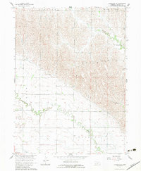
Buffalo Creek and Elm Creek snake across this Dawson County landscape, illustrating a complex irrigation and water management system in the early 1960s. The presence of the Dawson County Canal, complete with a Flume and Siphon, indicates the intensive agricultural engineering required to support the local plains. Small rural hubs are anchored by local landmarks such as Fairhaven Ch and School No 21, while the Community Center and the small settlement at Josselyn mark the social centers of the day. Communication and infrastructure are further represented by the Radio Towers (KRVN) and a Gaging Station along the creek. This survey provides a precise look at the township divisions of Grant, Logan, Overton, and Wood River, offering a clear view of how field lines and property divisions were organized around the natural and man-made waterways.
Find a feature on this map
17 named features on this map. Tap any name to fly to it.
Don’t see what you’re looking for? This feature index may not catch every label — zoom into the map to look around manually.
Map Details
Editions of this 1962 Lexington SE Map
2 editions found
Other maps of this area

1896 · Lexington
USGS Topo · 1:125,000

1896 · Kearney
USGS Topo · 1:125,000

1899 · Lexington
USGS Topo · 1:125,000

1955 · Grand Island
USGS Topo · 1:250,000

1957 · Grand Island
USGS Topo · 1:250,000

1958 · Grand Island
USGS Topo · 1:250,000

1961 · Elm Creek West
USGS Topo · 1:24,000

1961 · Miller SW
USGS Topo · 1:24,000
1962 · Miller
USGS Topo · 1:24,000
1962 · Sumner
USGS Topo · 1:24,000