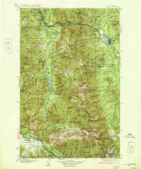
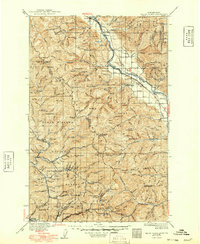
1932 Map of Libby
USGS Topo · Published 1932About this map
The Kootenai River carves a deep path through the Purcell Mountains and Cabinet range in this early 1930s survey of Northwest Montana. Hardrock mining dominates the high peaks, with significant operations such as the Snowstorm Mine and Snowshoe Mine established amidst the steep terrain. The town of Libby serves as the regional hub along the Northern railroad line, while smaller settlements like Troy and Smead anchor the river valleys.
Find a feature on this map
144 named features on this map. Tap any name to fly to it.
Don’t see what you’re looking for? This feature index may not catch every label — zoom into the map to look around manually.
Map Details
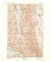
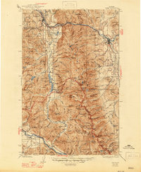
Editions of this 1932 Libby Map
3 editions found
Other maps of this area
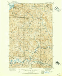
1909 · Cataldo
USGS Topo · 1:125,000
1911 · Cataldo
USGS Topo · 1:125,000
1911 · Priest Lake
USGS Topo · 1:250,000
1913 · Priest Lake
USGS Topo · 1:250,000
1920 · Libby
USGS Topo · 1:125,000
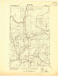
1920 · Jennings
USGS Topo · 1:125,000
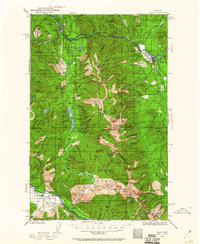
1930 · Libby
USGS Topo · 1:125,000
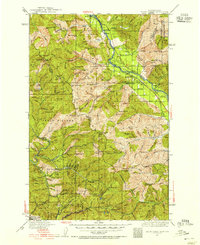
1932 · Trout Creek
USGS Topo · 1:125,000
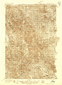
1935 · Thompson Lakes
USGS Topo · 1:96,000
1935 · Trout Creek
USGS Topo · 1:125,000