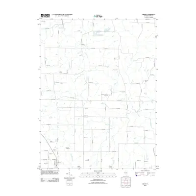
2024 Map of Liberty
USGS Topo · Published 2024About this map
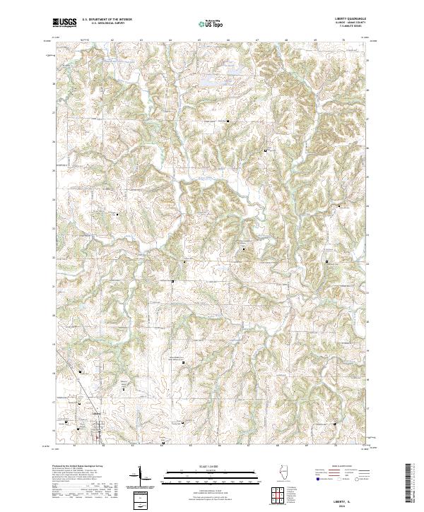
Liberty serves as the primary hub in this portion of Adams County, where the local landscape is defined by the winding course of McKee Creek and its many tributaries, including Lierle Creek and Walker Branch. This 2024 survey reveals a dense concentration of small, family-named burial grounds and rural churchyards, suggesting a deeply rooted agricultural community. Notable among these is the Saint Peters Evangelical Lutheran Cem and the unique Alfred Walker and Peter Williams Cem. The terrain rises to Wolf Ridge, while the northern reaches are punctuated by water bodies like Harrell Lake North and Harrell Lake South. The intricate road network, consisting of many numbered and lettered routes like Co RD 1500 N and E 2100th ST, connects scattered homesteads and private cemeteries like the Nations Cem and Vollbracht Cem.
Find a feature on this map
99 named features on this map. Tap any name to fly to it.
Don’t see what you’re looking for? This feature index may not catch every label — zoom into the map to look around manually.
Map Details
Editions of this 2024 Liberty Map
This is the sole edition of this map. No revisions or reprints were ever made.
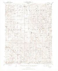
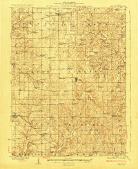
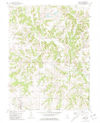
Historical Maps of Liberty Through Time
8 maps found