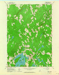
1961 Map of Liberty
USGS Topo · Published 1964About this map
St George Lake dominates the southern landscape of this 1961 survey, where the village of Liberty sits at the outlet of the St George River. The settlement pattern is defined by a network of crossroads corners named for local families, including Thurstons Corner, McFarlands Corner, and Whites Corner, many of which maintain small community landmarks like the Smithton Cem or Whitten Cem.
Find a feature on this map
62 named features on this map. Tap any name to fly to it.
Don’t see what you’re looking for? This feature index may not catch every label — zoom into the map to look around manually.
Map Details
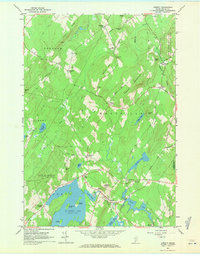
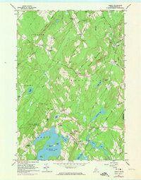
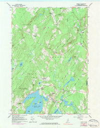
Editions of this 1961 Liberty Map
4 editions found
Other maps of this area

1915 · Belfast
USGS Topo · 1:62,500

1916 · Liberty
USGS Topo · 1:62,500

1917 · Belfast
USGS Topo · 1:62,500

1926 · Burnham
USGS Topo · 1:62,500

1932 · Brooks
USGS Topo · 1:62,500

1941 · Belfast
USGS Topo · 1:62,500

1942 · Liberty
USGS Topo · 1:62,500

1948 · Bangor
USGS Topo · 1:250,000

1950 · Belfast
USGS Topo · 1:50,000

1950 · Liberty
USGS Topo · 1:50,000