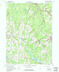
1965 Map of Liberty West
USGS Topo · Published 1989About this map
The settlement of White Sulphur Springs serves as a central point in this mid-1960s landscape, characterized by numerous resort-era lakes and health facilities in Sullivan County. The presence of the Liberty Loomis Hospital and the nearby community of Loomis reflects the area's specialized local economy. The terrain is defined by significant ridges like Walnut Mountain and Revonah Hill, which separate several narrow valleys and water bodies, including Swan Lake and Revonah Lake.
Find a feature on this map
65 named features on this map. Tap any name to fly to it.
Don’t see what you’re looking for? This feature index may not catch every label — zoom into the map to look around manually.
Map Details
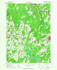
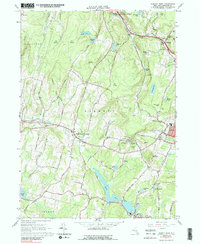
Editions of this 1965 Liberty West Map
3 editions found
Other maps of this area

1909 · Monticello
USGS Topo · 1:62,500

1910 · Neversink
USGS Topo · 1:62,500

1911 · Monticello
USGS Topo · 1:62,500

1921 · Livingston Manor
USGS Topo · 1:62,500

1922 · White Lake
USGS Topo · 1:62,500

1923 · Livingston Manor
USGS Topo · 1:62,500

1942 · White Lake
USGS Topo · 1:62,500

1942 · Neversink
USGS Topo · 1:62,500

1943 · White Lake
USGS Topo · 1:62,500

1943 · Monticello
USGS Topo · 1:62,500