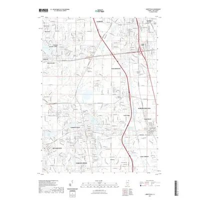
2021 Map of Libertyville
USGS Topo · Published 2021About this map
The Des Plaines River corridor defines the geography of central Lake County, serving as a natural anchor for a dense cluster of communities including Libertyville, Mundelein, and Waukegan. This modern landscape is characterized by a high concentration of institutional and memorial sites, notably the Serbian Monastery Cem and Saint Sava Monastery Cem, alongside the Lake County Poor Farm Cem. The map reveals the intricate water network of the area, featuring Butler Lake, Minear Lake, and the White Sulphur Spring. Transportation patterns are dominated by the Tri State Pkwy and numerous arterial roads like Washington St, which connect the established residential centers of Gurnee and North Chicago with newer developments in Vernon Hills and Mettawa.
Find a feature on this map
308 named features on this map. Tap any name to fly to it.
Don’t see what you’re looking for? This feature index may not catch every label — zoom into the map to look around manually.
Map Details
Editions of this 2021 Libertyville Map
This is the sole edition of this map. No revisions or reprints were ever made.
Other maps of this area

1900 · Highwood
USGS Topo · 1:62,500

1906 · Waukegan
USGS Topo · 1:62,500

1908 · Waukegan
USGS Topo · 1:62,500

1920 · Grays Lake
USGS Topo · 1:62,500

1923 · Grays Lake
USGS Topo · 1:62,500

1923 · Barrington
USGS Topo · 1:62,500

1928 · Wheeling
USGS Topo · 1:24,000

1928 · Highland Park
USGS Topo · 1:24,000

1935 · Barrington
USGS Topo · 1:62,500

1951 · Highland Park
USGS Topo · 1:24,000