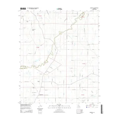
2015 Map of Liddieville
USGS Topo · Published 2015About this map
Liddieville and its surrounding agricultural lands are defined by the winding course of Little Creek as it crosses the border between Richland Parish and Franklin Parish. The landscape is a network of bayous and sloughs, including Mound Bayou and Otter Slough, which drain the low-lying terrain typical of this part of Louisiana. Transportation in the mid-2010s relies on a grid of rural roads such as Goldmine Rd and La-576, while local aviation is served by the Liddieville Airport and the Williams Flying Service Runway.
Find a feature on this map
88 named features on this map. Tap any name to fly to it.
Don’t see what you’re looking for? This feature index may not catch every label — zoom into the map to look around manually.
Map Details
Editions of this 2015 Liddieville Map
This is the sole edition of this map. No revisions or reprints were ever made.
Other maps of this area

1935 · Winnsboro
USGS Topo · 1:62,500

1935 · Alto
USGS Topo · 1:62,500

1935 · Baskinton
USGS Topo · 1:62,500

1939 · Fort Necessity
USGS Topo · 1:62,500

1955 · Jackson
USGS Topo · 1:250,000

1957 · Mangham
USGS Topo · 1:62,500

1958 · Baskinton
USGS Topo · 1:62,500

1958 · Winnsboro
USGS Topo · 1:62,500

1958 · Fort Necessity
USGS Topo · 1:62,500

1961 · Jackson
USGS Topo · 1:250,000