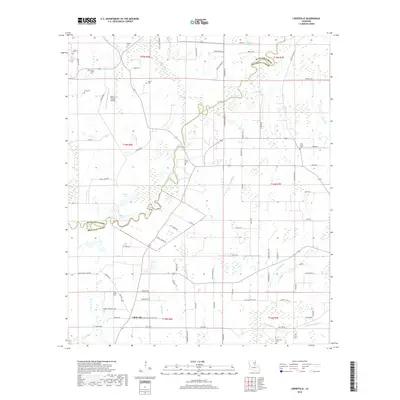
2018 Map of Liddieville
USGS Topo · Published 2018About this map
Big Creek winds across the alluvial landscape of this northeastern Louisiana parish, marking the boundary between Richland Parish and Franklin Parish. This survey documents a rural landscape defined by agricultural drainage and family heritage, where the settlement of Liddieville sits at a junction of regional roads. The area is dense with small family and community burial grounds, including the Duncan Cem, Nickols Cem, and Simms Chapel Cem, which serve as vital markers for genealogical research in this portion of the Delta.
Find a feature on this map
85 named features on this map. Tap any name to fly to it.
Don’t see what you’re looking for? This feature index may not catch every label — zoom into the map to look around manually.
Map Details
Editions of this 2018 Liddieville Map
This is the sole edition of this map. No revisions or reprints were ever made.
Other maps of this area

1935 · Winnsboro
USGS Topo · 1:62,500

1935 · Alto
USGS Topo · 1:62,500

1935 · Baskinton
USGS Topo · 1:62,500

1939 · Fort Necessity
USGS Topo · 1:62,500

1955 · Jackson
USGS Topo · 1:250,000

1957 · Mangham
USGS Topo · 1:62,500

1958 · Baskinton
USGS Topo · 1:62,500

1958 · Winnsboro
USGS Topo · 1:62,500

1958 · Fort Necessity
USGS Topo · 1:62,500

1961 · Jackson
USGS Topo · 1:250,000