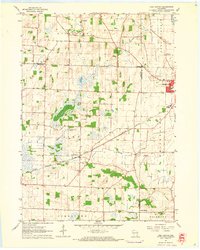
1960 Map of Lima Center
USGS Topo · Published 1964About this map
Lima and Koshkonong townships meet in this 1960 landscape of southeastern Wisconsin, where the Chicago Milwaukee St Paul and Pacific railroad cuts a diagonal path through the glacial terrain. The small community of Lima Center sits at the heart of the quadrangle, serving as a focal point for local families near the Lima Center Cem and North Lima Ch. To the northeast, the outskirts of Whitewater begin to emerge, featuring the local High Sch and the development of a Trailer Park. The drainage pattern is defined by several meandering waterways, including Otter Creek, Spring Brook, and Galloway Brook, which navigate between the low drumlins and marshy pockets characteristic of this region. Family history researchers will find notable landmarks like Union Cem and the small settlement of Utters Corners at the junction of Johnstown and Richmond townships.
Find a feature on this map
24 named features on this map. Tap any name to fly to it.
Don’t see what you’re looking for? This feature index may not catch every label — zoom into the map to look around manually.
Map Details
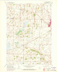
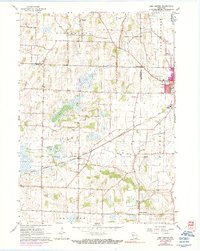
Editions of this 1960 Lima Center Map
3 editions found
Other maps of this area

1891 · Koshkonong
USGS Topo · 1:62,500

1892 · Whitewater
USGS Topo · 1:62,500

1893 · Delavan
USGS Topo · 1:62,500

1893 · Whitewater
USGS Topo · 1:62,500

1893 · Shopiere
USGS Topo · 1:62,500

1894 · Koshkonong
USGS Topo · 1:62,500

1903 · Whitewater
USGS Topo · 1:62,500

1906 · Koshkonong
USGS Topo · 1:62,500

1924 · Whitewater
USGS Topo · 1:62,500

1954 · Rockford
USGS Topo · 1:250,000