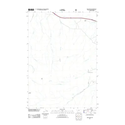
2011 Map of Lima Peaks
USGS Topo · Published 2011About this map
Garfield Mountain and the high elevations of the Lima Peaks anchor this remote section of Beaverhead County, where seasonal ranching and water management define the landscape. The presence of the Deep Creek Cow Camp near Warm Springs Creek highlights the area's continued use for livestock grazing, a traditional industry supported by a network of drainage systems including Birch Creek, Alder Creek, and the winding Sawmill Creek.
Find a feature on this map
20 named features on this map. Tap any name to fly to it.
Don’t see what you’re looking for? This feature index may not catch every label — zoom into the map to look around manually.
Map Details
Editions of this 2011 Lima Peaks Map
This is the sole edition of this map. No revisions or reprints were ever made.
Other maps of this area

1955 · Dubois
USGS Topo · 1:250,000

1957 · Paul Reservoir
USGS Topo · 1:62,500

1957 · Edie Ranch
USGS Topo · 1:62,500

1958 · Dubois
USGS Topo · 1:250,000

1965 · Gallagher Gulch
USGS Topo · 1:24,000

1965 · Lima
USGS Topo · 1:24,000

1965 · Dell
USGS Topo · 1:24,000

1965 · Lima Peaks
USGS Topo · 1:24,000

1968 · Snowline
USGS Topo · 1:24,000

1968 · Henry Gulch
USGS Topo · 1:24,000