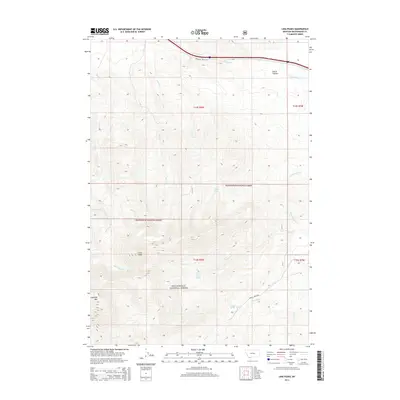
2014 Map of Lima Peaks
USGS Topo · Published 2014About this map
Beaverhead National Forest defines the southern reach of this landscape, where the high elevations of the Lima Peaks and Garfield Mtn dominate the terrain. This 2014 survey documents the complex drainage systems that flow north and south from these divides, including the headwaters of Little Sheep Cr, Deep Cr, and Alder Cr. The presence of Snowline Stock Ln in the northern corridor near Junction Cr suggests the enduring importance of livestock movement and grazing access in this high-altitude environment.
Find a feature on this map
24 named features on this map. Tap any name to fly to it.
Don’t see what you’re looking for? This feature index may not catch every label — zoom into the map to look around manually.
Map Details
Editions of this 2014 Lima Peaks Map
This is the sole edition of this map. No revisions or reprints were ever made.
Other maps of this area

1955 · Dubois
USGS Topo · 1:250,000

1957 · Paul Reservoir
USGS Topo · 1:62,500

1957 · Edie Ranch
USGS Topo · 1:62,500

1958 · Dubois
USGS Topo · 1:250,000

1965 · Gallagher Gulch
USGS Topo · 1:24,000

1965 · Lima
USGS Topo · 1:24,000

1965 · Dell
USGS Topo · 1:24,000

1965 · Lima Peaks
USGS Topo · 1:24,000

1968 · Snowline
USGS Topo · 1:24,000

1968 · Henry Gulch
USGS Topo · 1:24,000