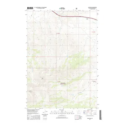
2017 Map of Lima Peaks
USGS Topo · Published 2017About this map
Lima Peaks and Garfield Mtn dominate the high-altitude landscape of this section of Beaverhead National Forest. This terrain is defined by a dense network of drainage systems, including Birch Creek, Junction Creek, and the headwaters of Little Sheep Creek. Water sources are vital markers in this environment, with locations such as Dutch Hollow Spring, Lower Deep Creek Spring, and Sawmill Spring providing essential resources for the region's management and history. Evidence of land use is visible through the remote Sawmill Creek Road and the established boundaries of various townships and ranges. The map illustrates a complex topographic profile of ridges and canyons, such as Dutch Hollow, which shape the natural corridors through this southwestern Montana high country.
Find a feature on this map
24 named features on this map. Tap any name to fly to it.
Don’t see what you’re looking for? This feature index may not catch every label — zoom into the map to look around manually.
Map Details
Editions of this 2017 Lima Peaks Map
This is the sole edition of this map. No revisions or reprints were ever made.
Other maps of this area

1955 · Dubois
USGS Topo · 1:250,000

1957 · Paul Reservoir
USGS Topo · 1:62,500

1957 · Edie Ranch
USGS Topo · 1:62,500

1958 · Dubois
USGS Topo · 1:250,000

1965 · Gallagher Gulch
USGS Topo · 1:24,000

1965 · Lima
USGS Topo · 1:24,000

1965 · Dell
USGS Topo · 1:24,000

1965 · Lima Peaks
USGS Topo · 1:24,000

1968 · Snowline
USGS Topo · 1:24,000

1968 · Henry Gulch
USGS Topo · 1:24,000