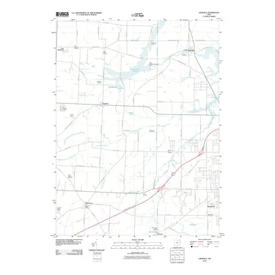
2010 Map of Limaville
USGS Topo · Published 2010About this map
Limaville and the surrounding agricultural landscape of Stark County are defined by a network of rural crossroads and several sprawling water bodies. Central to this area is the Dale Walborn Reservoir, controlled by the Dale Walborn Reservoir Dam, which dominates the northern landscape alongside Deer Creek and France Lake. The map reveals a high density of burial sites that provide a roadmap for local genealogical research, including the Science Hill Cemetery and the Saint Pauls Cemetery north of Marlboro. Small settlements like Harrisburg and Maximo are connected by a grid of namesake roads such as Marlboro Ave NE and Beeson St NE. This modern survey documents the established infrastructure of the region, from the Maximo Post Office to recreational landmarks like the Tannenhauf Golf Course and Camp Rodman.
Find a feature on this map
81 named features on this map. Tap any name to fly to it.
Don’t see what you’re looking for? This feature index may not catch every label — zoom into the map to look around manually.
Map Details
Editions of this 2010 Limaville Map
This is the sole edition of this map. No revisions or reprints were ever made.
Other maps of this area

1901 · Canton
USGS Topo · 1:62,500

1903 · Canton
USGS Topo · 1:62,500

1906 · Kent
USGS Topo · 1:62,500

1906 · Ravenna
USGS Topo · 1:62,500

1908 · Ravenna
USGS Topo · 1:62,500

1909 · Alliance
USGS Topo · 1:62,500

1950 · Cleveland
USGS Topo · 1:250,000

1951 · Canton
USGS Topo · 1:250,000

1952 · Alliance
USGS Topo · 1:24,000

1953 · Canton
USGS Topo · 1:250,000