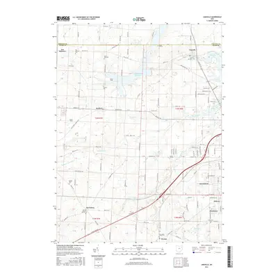
2016 Map of Limaville
USGS Topo · Published 2016About this map
The village of Limaville and the northern outskirts of Alliance define this landscape along the border of Stark and Portage counties. This survey reveals a region characterized by small-scale crossroads settlements and a dense network of country roads like German Church Rd and Edison St NE. The presence of numerous burial grounds, including the Quaker Hill Cem, Science Hill Cem, and the French Baptist Cem, provides significant geographic markers for genealogical research in this part of Ohio. Large water bodies such as Deer Cr Reservoir and Dale Walborn Reservoir contrast with the surrounding agricultural plots and family holdings like Stub's Field. To the south, the communities of Harrisburg, Maximo, and Beechwood sit near the rail corridors and major thoroughfares that connect the area to the industrial hub of Alliance.
Find a feature on this map
111 named features on this map. Tap any name to fly to it.
Don’t see what you’re looking for? This feature index may not catch every label — zoom into the map to look around manually.
Map Details
Editions of this 2016 Limaville Map
This is the sole edition of this map. No revisions or reprints were ever made.
Other maps of this area

1901 · Canton
USGS Topo · 1:62,500

1903 · Canton
USGS Topo · 1:62,500

1906 · Kent
USGS Topo · 1:62,500

1906 · Ravenna
USGS Topo · 1:62,500

1908 · Ravenna
USGS Topo · 1:62,500

1909 · Alliance
USGS Topo · 1:62,500

1950 · Cleveland
USGS Topo · 1:250,000

1951 · Canton
USGS Topo · 1:250,000

1952 · Alliance
USGS Topo · 1:24,000

1953 · Canton
USGS Topo · 1:250,000