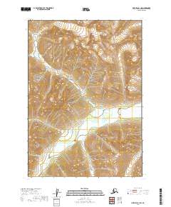
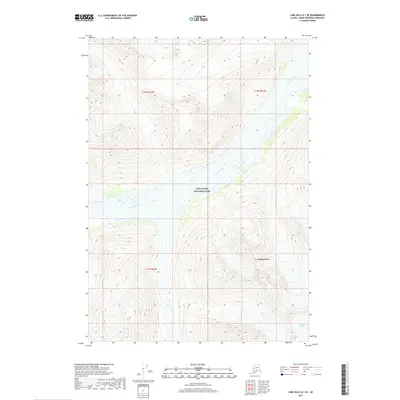
2019 Map of Lime Hills A-1 SW
USGS Topo · Published 2019About this map
The high peaks and glaciers of the Lake Clark National Park dominate this 2019 survey, showcasing a landscape shaped by tectonic forces and glacial recession. This terrain within the Kenai Peninsula Borough is characterized by dramatic elevation changes, where high alpine ridges give way to the braided channels of the Neacola River. The river valley serves as a primary drainage corridor, with complex wetland systems appearing in the lower elevations as the water flows through the survey area. The intricate contour lines and hydrography on this sheet document the modern wilderness state of this remote Alaskan interior, providing an essential record for researchers studying the current glaciology and hydrological patterns of the western Cook Inlet region.
Find a feature on this map
6 named features on this map. Tap any name to fly to it.
Don’t see what you’re looking for? This feature index may not catch every label — zoom into the map to look around manually.
Map Details
Editions of this 2019 Lime Hills A-1 SW Map
This is the sole edition of this map. No revisions or reprints were ever made.
Other maps of this area

1946 · Lake Clark
USGS Topo · 1:250,000

1951 · Lake Clark
USGS Topo · 1:250,000

1951 · Lime Hills
USGS Topo · 1:250,000

1958 · Lime Hills A-2
USGS Topo · 1:63,360
1958 · Lake Clark D-2
USGS Topo · 1:63,360
1958 · Lime Hills A-1
USGS Topo · 1:63,360
1958 · Lake Clark D-1
USGS Topo · 1:63,360

1958 · Lake Clark
USGS Topo · 1:250,000

1958 · Lime Hills
USGS Topo · 1:250,000
2017 · Lime Hills A-1 SE
USGS Topo · 1:25,000