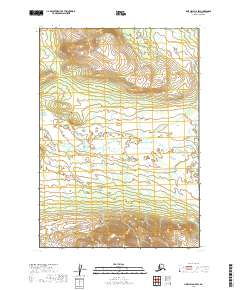
2019 Map of Lime Hills A-5 SW
USGS Topo · Published 2019About this map
High-elevation terrain and remote drainage systems characterize this portion of the Bethel Census Area, captured in a 2019 survey that emphasizes the region's topographical complexity. The land is defined by steep ridges and glacial valleys, with Can Cr serving as the primary drainage through the central portion of the landscape. Without roads or permanent settlements, the map relies on the Public Land Survey System to organize the wilderness, specifically marking the boundaries of t12n r32w, t12n r31w, t11n r32w, and t11n r31w. The hydrography, derived from data spanning 2001 to 2018, highlights the intricate network of alpine streams that feed the larger watershed, providing a detailed record of the pristine landscape in the early twenty-first century.
Find a feature on this map
5 named features on this map. Tap any name to fly to it.
Don’t see what you’re looking for? This feature index may not catch every label — zoom into the map to look around manually.
Map Details
Editions of this 2019 Lime Hills A-5 SW Map
This is the sole edition of this map. No revisions or reprints were ever made.
Other maps of this area

1946 · Lake Clark
USGS Topo · 1:250,000

1951 · Lake Clark
USGS Topo · 1:250,000

1951 · Lime Hills
USGS Topo · 1:250,000

1954 · Lime Hills A-5
USGS Topo · 1:63,360

1954 · Lake Clark D-5
USGS Topo · 1:63,360

1954 · Lime Hills A-6
USGS Topo · 1:63,360
1954 · Lake Clark D-6
USGS Topo · 1:63,360

1958 · Lake Clark
USGS Topo · 1:250,000

1958 · Lime Hills
USGS Topo · 1:250,000
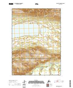
2018 · Lake Clark D-5 NW
USGS Topo · 1:25,000