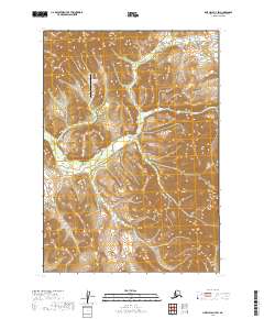
2019 Map of Lime Hills A-7 SW
USGS Topo · Published 2019About this map
The Sparrevohn Long Range Radar Site dominates the northern uplands of this interior landscape in the Bethel Census Area. This Cold War-era installation remains a primary landmark in a region defined by its isolation and dramatic elevation changes. To the south, the terrain falls away toward the drainage of Hook Cr, which carves through the central and western portions of the quadrangle. The map documents the relationship between this vital strategic defense infrastructure and the surrounding topography, providing clear detail for the high ridges and the intricate stream network that feeds the Kuskokwim River watershed.
Find a feature on this map
7 named features on this map. Tap any name to fly to it.
Don’t see what you’re looking for? This feature index may not catch every label — zoom into the map to look around manually.
Map Details
Editions of this 2019 Lime Hills A-7 SW Map
This is the sole edition of this map. No revisions or reprints were ever made.
Other maps of this area

1946 · Lake Clark
USGS Topo · 1:250,000

1951 · Lake Clark
USGS Topo · 1:250,000

1951 · Lime Hills
USGS Topo · 1:250,000

1954 · Lime Hills A-8
USGS Topo · 1:63,360

1954 · Lake Clark D-8
USGS Topo · 1:63,360

1954 · Lake Clark D-7
USGS Topo · 1:63,360

1954 · Lime Hills A-7
USGS Topo · 1:63,360

1958 · Lake Clark
USGS Topo · 1:250,000

1958 · Lime Hills
USGS Topo · 1:250,000
2019 · Lake Clark D-7 NE
USGS Topo · 1:25,000