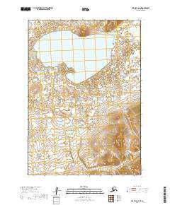
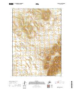
2019 Map of Lime Hills A-8 NE
USGS Topo · Published 2019About this map
Tundra Lake dominates the upper half of this remote Alaskan interior landscape, positioned within the high-latitude reaches of the Bethel Census Area. The terrain is defined by complex glacial and periglacial features, where countless unnamed ponds and wetlands surround the primary water body. Along the eastern edge of the quadrangle, the headwaters of Caribou Snare Creek begin their descent through the rolling tundra. The map provides a detailed view of the Public Land Survey System (PLSS) grid, documenting townships t13n r36w and t12n r36w as they were surveyed in the modern era. This documentation of the natural drainage patterns and topographical relief offers a look at the undisturbed wilderness of the Lime Hills region, where hydrography and elevation contours are the primary markers of the land.
Find a feature on this map
6 named features on this map. Tap any name to fly to it.
Don’t see what you’re looking for? This feature index may not catch every label — zoom into the map to look around manually.
Map Details
Editions of this 2019 Lime Hills A-8 NE Map
This is the sole edition of this map. No revisions or reprints were ever made.
Other maps of this area

1951 · Lime Hills
USGS Topo · 1:250,000

1954 · Lime Hills A-8
USGS Topo · 1:63,360

1954 · Lime Hills B-7
USGS Topo · 1:63,360

1954 · Lime Hills A-7
USGS Topo · 1:63,360

1954 · Lime Hills B-8
USGS Topo · 1:63,360

1958 · Lime Hills
USGS Topo · 1:250,000
2019 · Lime Hills A-8 SE
USGS Topo · 1:25,000
2019 · Lime Hills A-8 SW
USGS Topo · 1:25,000
2019 · Lime Hills A-8 NW
USGS Topo · 1:25,000
2019 · Lime Hills B-8 SE
USGS Topo · 1:25,000