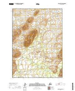
2019 Map of Lime Hills A-8 SW
USGS Topo · Published 2019About this map
Hook Creek winds through this undeveloped stretch of the Bethel region, where the landscape is defined by remote drainage patterns and dramatic elevation shifts. The area is divided by the rectangular grid of the Public Land Survey System, encompassing portions of t12n r38w, t12n r37w, t11n r38w, and t11n r37w. This 2019 survey documents a wilderness environment largely devoid of human infrastructure, making it a valuable baseline for studying natural hydrological changes and land management boundaries in interior Alaska. The topographic contours highlight isolated peaks and the winding path of the creek as it moves through the southern sections of the quadrangle.
Find a feature on this map
5 named features on this map. Tap any name to fly to it.
Don’t see what you’re looking for? This feature index may not catch every label — zoom into the map to look around manually.
Map Details
Editions of this 2019 Lime Hills A-8 SW Map
This is the sole edition of this map. No revisions or reprints were ever made.
Other maps of this area

1946 · Lake Clark
USGS Topo · 1:250,000

1950 · Sleetmute
USGS Topo · 1:250,000

1950 · Taylor Mountains
USGS Topo · 1:250,000

1951 · Lake Clark
USGS Topo · 1:250,000

1951 · Taylor Mountains
USGS Topo · 1:250,000

1951 · Lime Hills
USGS Topo · 1:250,000

1954 · Lime Hills A-8
USGS Topo · 1:63,360

1954 · Lake Clark D-8
USGS Topo · 1:63,360

1954 · Sleetmute
USGS Topo · 1:250,000

1954 · Taylor Mountains
USGS Topo · 1:250,000