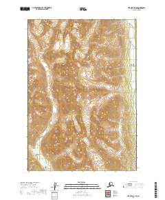
2019 Map of Lime Hills B-3 NE
USGS Topo · Published 2019About this map
Tired Pup Glacier dominates the high elevations of this Bethel Census Area landscape, feeding the headwaters of the Tired Pup Creek system. The terrain is defined by extreme relief, where steep slopes descend rapidly from glacial ice into the narrow valley of Tired Pup Cr. Along the eastern edge of the quadrangle, the Stony River flows north, serving as a primary drainage corridor for the surrounding mountain ranges. This 2019 survey documents the specific extent of alpine glaciation and the hydrological patterns before the river continues its course through the Alaskan interior. The map illustrates a wilderness shaped entirely by natural forces, with no human settlements or infrastructure recorded within these townships.
Find a feature on this map
8 named features on this map. Tap any name to fly to it.
Don’t see what you’re looking for? This feature index may not catch every label — zoom into the map to look around manually.
Map Details
Editions of this 2019 Lime Hills B-3 NE Map
This is the sole edition of this map. No revisions or reprints were ever made.
Other maps of this area

1951 · Lime Hills
USGS Topo · 1:250,000

1954 · Lime Hills B-3
USGS Topo · 1:63,360

1958 · Lime Hills C-3
USGS Topo · 1:63,360

1958 · Lime Hills C-2
USGS Topo · 1:63,360
1958 · Lime Hills B-2
USGS Topo · 1:63,360

1958 · Lime Hills
USGS Topo · 1:250,000
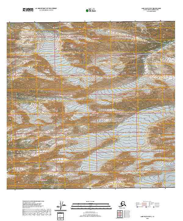
2019 · Lime Hills C-2 SW
USGS Topo · 1:25,000
2019 · Lime Hills B-3 NW
USGS Topo · 1:25,000
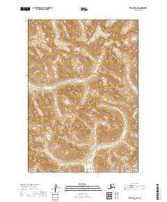
2019 · Lime Hills B-3 SW
USGS Topo · 1:25,000
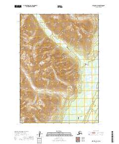
2019 · Lime Hills B-3 SE
USGS Topo · 1:25,000