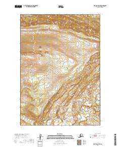
2019 Map of Lime Hills B-5 NE
USGS Topo · Published 2019About this map
Little Underhill Creek flows through the southeastern portion of this remote interior Alaska landscape, appearing as a primary drainage in an area otherwise characterized by high-elevation terrain and seasonal wetlands. Surveyed in 2019, the map reveals a topographic transition between T16n R30w and T15n R29w, where steep contour intervals suggest significant ridges and valleys. Produced by the U.S. Geological Survey, the sheet is notably sparse of man-made infrastructure, roads, or named settlements, highlighting the wild character of the Bethel Census Area. The land is strictly organized by the Public Land Survey System, with the intersections of four townships providing the primary geographic framework for this uninhabited stretch of the Lime Hills region.
Find a feature on this map
5 named features on this map. Tap any name to fly to it.
Don’t see what you’re looking for? This feature index may not catch every label — zoom into the map to look around manually.
Map Details
Editions of this 2019 Lime Hills B-5 NE Map
This is the sole edition of this map. No revisions or reprints were ever made.
Other maps of this area

1951 · Lime Hills
USGS Topo · 1:250,000
1954 · Lime Hills C-5
USGS Topo · 1:63,360

1954 · Lime Hills B-4
USGS Topo · 1:63,360

1954 · Lime Hills B-5
USGS Topo · 1:63,360

1958 · Lime Hills C-4
USGS Topo · 1:63,360

1958 · Lime Hills
USGS Topo · 1:250,000
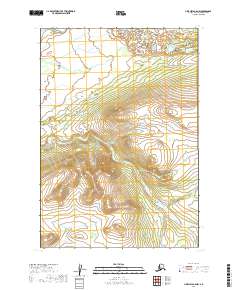
2019 · Lime Hills B-5 NW
USGS Topo · 1:25,000
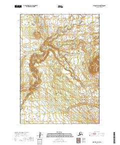
2019 · Lime Hills B-5 SE
USGS Topo · 1:25,000
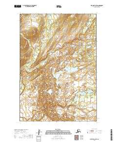
2019 · Lime Hills C-5 SW
USGS Topo · 1:25,000
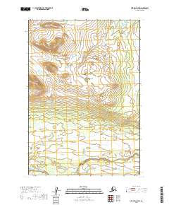
2019 · Lime Hills B-5 SW
USGS Topo · 1:25,000