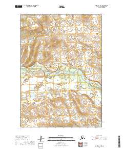
2019 Map of Lime Hills B-8 NE
USGS Topo · Published 2019About this map
Stony River winds through this expanse of the Bethel Census Area, creating a complex network of braids and gravel bars across the center of the landscape. The river's path through this interior region illustrates a dynamic glacial-fed waterway, where shifting channels and broad alluvial deposits define the low-lying terrain between rising topographical slopes. Beyond the river valley, the area is characterized by an absence of formal infrastructure or permanent settlements, mapped instead by the primary divisions of the Public Land Survey System, including t16n r36w and t15n r36w. This 2019 survey documents a landscape where the natural hydrology remains the dominant feature, providing a foundational record for researchers of Alaskana and the state's interior water systems.
Find a feature on this map
5 named features on this map. Tap any name to fly to it.
Don’t see what you’re looking for? This feature index may not catch every label — zoom into the map to look around manually.
Map Details
Editions of this 2019 Lime Hills B-8 NE Map
This is the sole edition of this map. No revisions or reprints were ever made.
Other maps of this area

1951 · Lime Hills
USGS Topo · 1:250,000
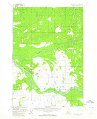
1954 · Lime Hills C-7
USGS Topo · 1:63,360

1954 · Lime Hills B-7
USGS Topo · 1:63,360

1954 · Lime Hills B-8
USGS Topo · 1:63,360
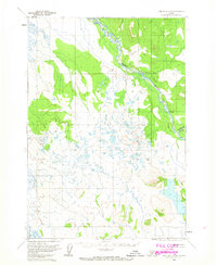
1958 · Lime Hills C-8
USGS Topo · 1:63,360

1958 · Lime Hills
USGS Topo · 1:250,000
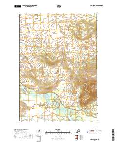
2019 · Lime Hills B-7 NW
USGS Topo · 1:25,000
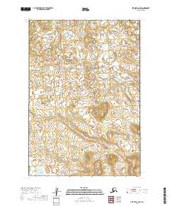
2019 · Lime Hills C-8 SW
USGS Topo · 1:25,000
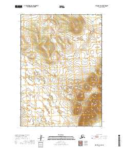
2019 · Lime Hills B-8 SE
USGS Topo · 1:25,000
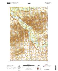
2019 · Lime Hills C-7 SW
USGS Topo · 1:25,000