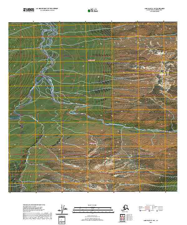
2019 Map of Lime Hills D-1 NW
USGS Topo · Published 2019About this map
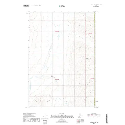
The South Fork Kuskokwim River dominates this interior landscape within the Bethel Census Area, winding through a complex network of braided channels and sandbars. The drainage patterns shown in this 2019 survey reveal how the Hartman River and Johnson Cr contribute to the larger Kuskokwim system, creating a vast riparian corridor flanked by steep elevation gains. To the east, the terrain rises sharply toward a narrow mountain passage known as Hellsgate, where the river is squeezed between high ridges. Higher alpine features such as Flahart Lake sit perched above the valley floor, illustrating the dramatic verticality of this undeveloped region. The map provides a precise look at the township and range boundaries, including t22n r22w and t21n r21w, which define the administrative geography of this remote wilderness.
Find a feature on this map
10 named features on this map. Tap any name to fly to it.
Don’t see what you’re looking for? This feature index may not catch every label — zoom into the map to look around manually.
Map Details
Editions of this 2019 Lime Hills D-1 NW Map
This is the sole edition of this map. No revisions or reprints were ever made.
Other maps of this area

1949 · McGrath
USGS Topo · 1:250,000

1950 · McGrath
USGS Topo · 1:250,000

1951 · Lime Hills
USGS Topo · 1:250,000

1958 · McGrath A-1
USGS Topo · 1:63,360
1958 · Lime Hills D-1
USGS Topo · 1:63,360
1958 · Lime Hills D-2
USGS Topo · 1:63,360

1958 · McGrath
USGS Topo · 1:250,000

1958 · Lime Hills
USGS Topo · 1:250,000
2017 · Lime Hills D-1 SE
USGS Topo · 1:25,000
2017 · Lime Hills D-1 NE
USGS Topo · 1:25,000