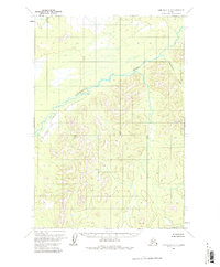
1954 Map of Lime Hills D-7
USGS Topo · Published 1981About this map
Cheeneetnuk River meanders across this interior Alaskan landscape, characterized by intricate drainage patterns and significant elevation changes. Topography for this area was captured through photogrammetric methods from aerial photography taken in 1953, providing a detailed look at the unsurveyed and unmarked land lines as predetermined by the Bureau of Land Management. The terrain is defined by the winding course of the main river and its relationship with Shoeleather Creek in the eastern portion of the quadrangle. With no roads or trails recorded at the time of field annotation in 1954, this survey represents the wilderness state of the region before any modern infrastructure or permanent settlements were established. The map serves as a primary record of the natural hydrology and topographical contours within the Seward Meridian.
Find a feature on this map
2 named features on this map. Tap any name to fly to it.
Don’t see what you’re looking for? This feature index may not catch every label — zoom into the map to look around manually.
Map Details
Editions of this 1954 Lime Hills D-7 Map
2 editions found
Other maps of this area

1949 · McGrath
USGS Topo · 1:250,000

1950 · McGrath
USGS Topo · 1:250,000

1951 · Lime Hills
USGS Topo · 1:250,000
1954 · Lime Hills D-7
USGS Topo · 1:63,360
1954 · Lime Hills C-7
USGS Topo · 1:63,360

1954 · Lime Hills D-6
USGS Topo · 1:63,360
1954 · McGrath A-5
USGS Topo · 1:63,360

1954 · Lime Hills C-6
USGS Topo · 1:63,360
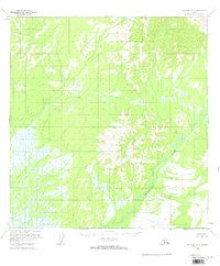
1954 · McGrath A-6
USGS Topo · 1:63,360
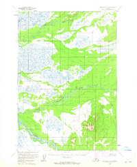
1954 · Lime Hills D-8
USGS Topo · 1:63,360