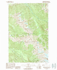
1988 Map of Lime Mountain
USGS Topo · Published 1988About this map
Suiattle River and White Chuck River define the drainage patterns of this high-elevation landscape in the North Cascades during the late 1980s. The map reveals a complex network of glacial ice and perennial snowfields, including the Milk Lake Glacier, Ptarmigan Glacier, and Scimitar Glacier, which cling to the slopes of prominent summits like Kennedy Peak and Fire Mountain. The presence of the Pacific Crest National Scenic Trail winding through the Glacier Peak Wilderness highlights the area's importance for long-distance recreation within the Mt Baker National Forest. High-country lakes such as Milk Lakes, Rivord Lake, and Emerald Lake are scattered across the ridges, while Fourteenmile Creek and Pumice Creek feed into the larger river valleys. The topography is dominated by sharp elevations like Lime Mountain and Box Mountain, with significant passes such as Fire Creek Pass providing transit points through the glaciated terrain.
Find a feature on this map
39 named features on this map. Tap any name to fly to it.
Don’t see what you’re looking for? This feature index may not catch every label — zoom into the map to look around manually.
Map Details
Editions of this 1988 Lime Mountain Map
2 editions found
Other maps of this area

1899 · Glacier Peak
USGS Topo · 1:125,000

1901 · Glacier Peak
USGS Topo · 1:125,000

1950 · Glacier Peak
USGS Topo · 1:62,500

1955 · Concrete
USGS Topo · 1:250,000

1958 · Concrete
USGS Topo · 1:250,000

1962 · Concrete
USGS Topo · 1:250,000
1963 · Downey Mtn
USGS Topo · 1:24,000
1963 · Dome Peak
USGS Topo · 1:24,000
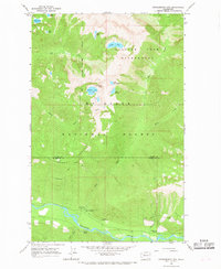
1966 · Huckleberry Mtn
USGS Topo · 1:24,000
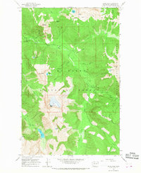
1966 · Sloan Peak
USGS Topo · 1:24,000