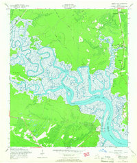
1958 Map of Limerick SE
USGS Topo · Published 1966About this map
The tidewater landscape of coastal Georgia unfolds in this mid-century survey, dominated by the serpentine channels of the Medway River and the Laurel View River. This intricate network of saltwater marshes and inlets defines the local geography, separating mainland settlements from Colonels Island and the Isle of Wight. On the southern bank of the Sunbury Channel, the Fort Morris (Site) marks a point of significant military history overlooking the water.
Find a feature on this map
40 named features on this map. Tap any name to fly to it.
Don’t see what you’re looking for? This feature index may not catch every label — zoom into the map to look around manually.
Map Details
Editions of this 1958 Limerick SE Map
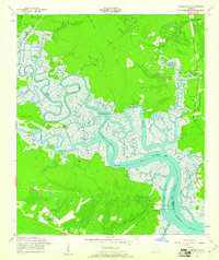
2 editions found
Other maps of this area

1920 · Sapelo River
USGS Topo · 1:62,500

1920 · Limerick
USGS Topo · 1:62,500

1928 · St Catherines Island
USGS Topo · 1:62,500

1943 · St Catherines Island
USGS Topo · 1:62,500

1943 · Sapelo River
USGS Topo · 1:62,500

1944 · Limerick
USGS Topo · 1:62,500

1944 · Ossabaw Island
USGS Topo · 1:62,500

1945 · St. Catherine's Island
USGS Topo · 1:62,500

1945 · Ossabaw Island
USGS Topo · 1:62,500

1945 · Sapelo River
USGS Topo · 1:62,500