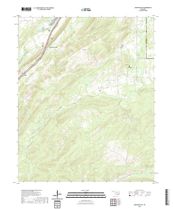
2022 Map of Limestone Gap
USGS Topo · Published 2022About this map
Limestone Ridge and Pine Mtn dominate the landscape of the Atoka and Pittsburg County border, where the terrain funnels through the geographical pass of Limestone Gap. This 2022 survey documents a rural Choctaw Country environment defined by dispersed settlements like Wesley and Chockie, alongside the smaller community of Burg. The drainage patterns are clearly defined by numerous waterways including Limestone Creek, Nolleytuby Creek, and Breadtown Creek, which carve through the ridges. For genealogists and local historians, the map provides precise locations for the Limestone Gap Cemetery and Wesley Cemetery, which remain anchored to these long-established communities. The layout of the modern road network, including Wesley Road and Chockie Mountain Road, reflects the continued importance of these traditional mountain gaps for transit across the divide.
Find a feature on this map
37 named features on this map. Tap any name to fly to it.
Don’t see what you’re looking for? This feature index may not catch every label — zoom into the map to look around manually.
Map Details
Editions of this 2022 Limestone Gap Map
This is the sole edition of this map. No revisions or reprints were ever made.
Other maps of this area

1896 · Coalgate
USGS Topo · 1:125,000

1898 · McAlester
USGS Topo · 1:125,000

1899 · Coalgate
USGS Topo · 1:125,000

1899 · Atoka
USGS Topo · 1:125,000

1900 · Atoka
USGS Topo · 1:125,000

1900 · Coalgate
USGS Topo · 1:125,000

1901 · Antlers
USGS Topo · 1:125,000

1909 · Mc Alester
USGS Topo · 1:125,000

1912 · Antlers
USGS Topo · 1:125,000

1925 · Antlers
USGS Topo · 1:125,000