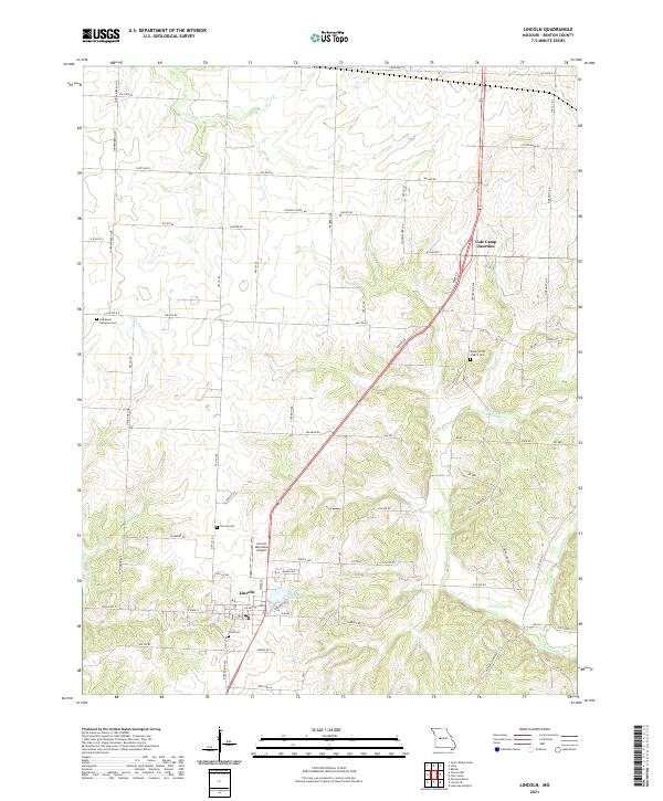
2021 Map of Lincoln
USGS Topo · Published 2021About this map
Lincoln serves as the primary hub in this Benton County landscape, where the local road network converges near the Lincoln Municipal Airport and the small waters of Timber Line Lake. The terrain is defined by a dense network of creek branches, including Little Tebo Cr and Byler Br, which carve through the countryside. For genealogists, the map is particularly detailed regarding local burial sites and parish history, showing the Immanuel Lutheran Cem to the northwest and the Mount Olivet Church Cem near the intersection at Cole Camp Junction.
Find a feature on this map
84 named features on this map. Tap any name to fly to it.
Don’t see what you’re looking for? This feature index may not catch every label — zoom into the map to look around manually.
Map Details
Editions of this 2021 Lincoln Map
This is the sole edition of this map. No revisions or reprints were ever made.
Other maps of this area

1887 · Sedalia
USGS Topo · 1:125,000

1887 · Warsaw
USGS Topo · 1:125,000

1894 · Warsaw
USGS Topo · 1:125,000

1894 · Sedalia
USGS Topo · 1:125,000

1936 · Shawnee Bend
USGS Topo · 1:24,000

1936 · Lakeview Heights
USGS Topo · 1:24,000

1936 · Schuyler
USGS Topo · 1:24,000

1947 · Jefferson City
USGS Topo · 1:250,000
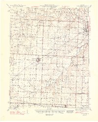
1948 · Green Ridge
USGS Topo · 1:62,500

1954 · Jefferson City
USGS Topo · 1:250,000