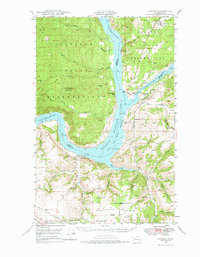
1948 Map of Lincoln
USGS Topo · Published 1976About this map
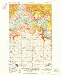
The Colville Indian Reservation and Spokane Indian Reservation meet at the confluence of the Columbia River and Spokane River, dominated by the recently created Franklin D Roosevelt Lake. This 1948 survey reflects a landscape transformed by the Coulee Dam project, showing the new water levels as they reached into deep canyons like Halverson Canyon and Bean Canyon. Settlement centers are concentrated at Lincoln, Enterprise, and Miles, providing a window into the rural life of eastern Washington just after the war. Local landmarks such as Fort Spokane stand as historical anchors near the river junction, while smaller community features like the Rothlisburg Sch, Enterprise Sch, and Swede Ch on Swede Flats document the social geography of the era. The terrain transitions from the high peaks of Johnny George Mtn and Jim Mtn down to the agricultural expanses of Bachelor Prairie.
Find a feature on this map
43 named features on this map. Tap any name to fly to it.
Don’t see what you’re looking for? This feature index may not catch every label — zoom into the map to look around manually.
Map Details
Editions of this 1948 Lincoln Map
2 editions found
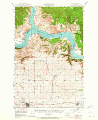
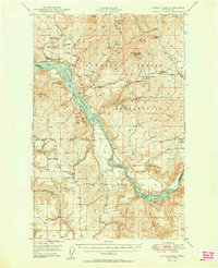
Other maps of this area

1948 · Hunters
USGS Topo · 1:62,500
1948 · Wilbur
USGS Topo · 1:62,500

1948 · Wilmont Creek
USGS Topo · 1:62,500
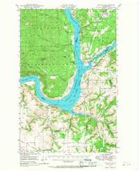
1948 · Lincoln
USGS Topo · 1:62,500

1948 · Turtle Lake
USGS Topo · 1:62,500

1950 · Lincoln
USGS Topo · 1:62,500
1950 · Turtle Lake
USGS Topo · 1:62,500

1950 · Wilmont Creek
USGS Topo · 1:62,500
1950 · Wilbur
USGS Topo · 1:62,500
1950 · Hunters
USGS Topo · 1:62,500